This Rogers Data VFR ICAO aeronautical chart for the South West of France gives a very detailed description of the respective airspace. The shading and relief on these highly sophisticated topographic terrain charts creates a dynamic 3D-effect.
All Rogers Data ICAO VFR aeronautical charts are based on the latest aeronautical information from AIP (Aeronautical Information Publication) and their supplements of the CAA (Civil Aviation Authority) as well as on the relevant regulation of ICAO Annex (Aeronautical Charts) and European Commission Regulations.
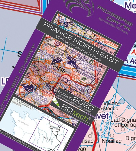
Laminated Aeronautical chart on a scale of 1:500,000
According to ICAO Annex 4; EU-Commission Regulations; AIP
Clear representation of the ATS airspace structure
Reporting points, border crossing points
Danger- and restricted areas
Aerial sporting and recreational activities
Areas with sensitive fauna
 Paypal, Payment in cash, Payment via bank transfer, Paynow (BLIK, przelew bankowy, płatność kartą)
![]()
![]()
![]()

